ProjectsManagement Plan Apuseni Natural Park
GISmediubiodiversitatemanagement
Management Plan Apuseni Natural Park
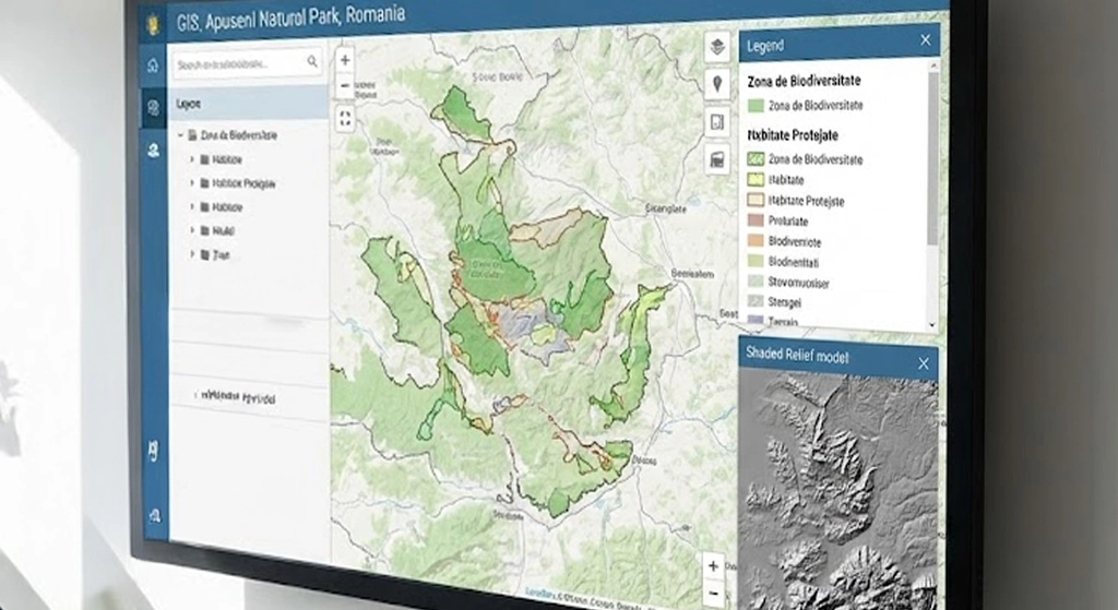
GIS cartography project for habitat and biodiversity monitoring in Apuseni Natural Park. Integrated satellite imagery, field data and classifications for the management plan.
Location
Apuseni Mountains, Romania
Area
75,000 ha
Accuracy
N/A
Date
2024-06
Project Steps
1Satellite imagery analysis
2Field habitat mapping
3Geospatial database
Gallery



Datasets
Metadata
EPSGEPSG:3844
Coordinates46.6833, 22.8167
ClientPark Administration
AccuracyN/A
Datasets0
Deliverables
- GIS database
- Thematic maps