ProjectsPUG Update Coșbuc Commune
PUGfotogrammetrieLidarurbanism
PUG Update Coșbuc Commune
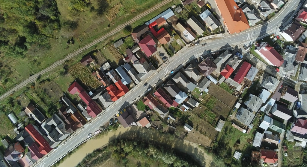
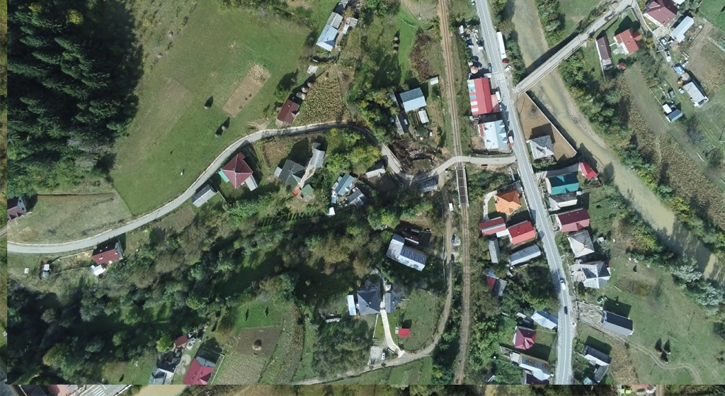
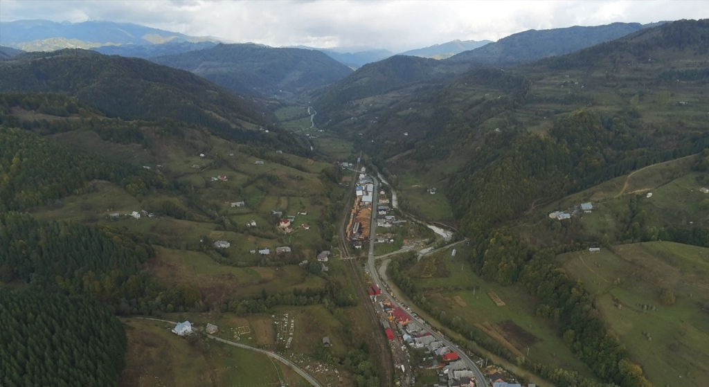
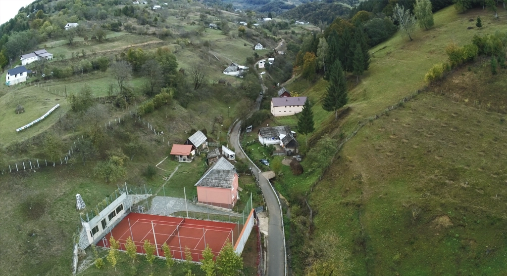
Aerial mapping and Lidar scanning for PUG update. High-resolution orthophotos and precise Digital Terrain Model for urban planning.
Location
Coșbuc, Bistrița-Năsăud county
Area
Admin UAT
Accuracy
±5 cm
Date
2024-08
Project Steps
1Photogrammetric flight
2Airborne LiDAR scanning
3Vectorisation of cadastral features
Gallery
Datasets
Metadata
EPSGEPSG:3844
Coordinates47.3667, 24.3833
ClientCoșbuc City Hall
Accuracy±5 cm
Datasets0
Deliverables
- Orthophoto
- DTM/DSM
- Topographic plan