ProjectsTopographic Survey Urban Planning PUZ
topografieurbanismLidarPUZ
Topographic Survey Urban Planning PUZ
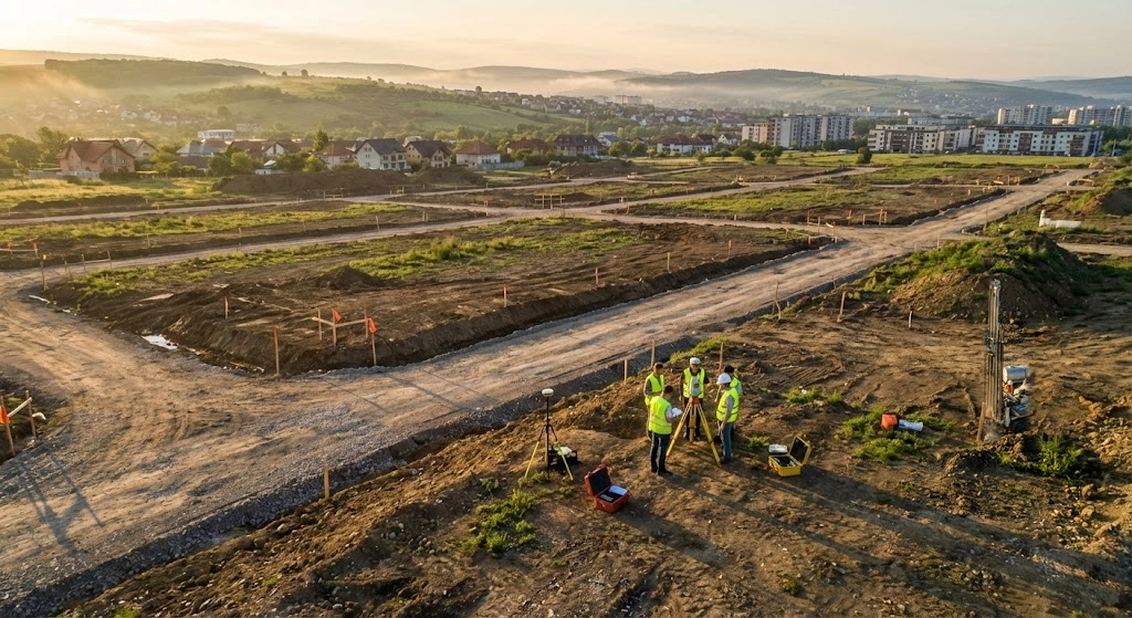
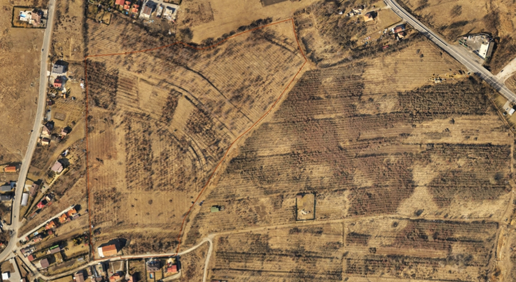
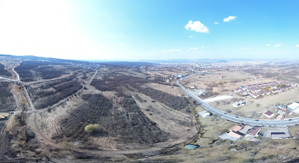
Complete topographic survey for a 30 ha residential complex in Cluj-Napoca metropolitan area. Included GNSS control network, robotic total station detail survey, orthophoto plan, tree identification and health status, lidar scanning and DTM.
Location
Cluj-Napoca, Romania
Area
30 ha
Accuracy
±2 cm horizontal, ±3 cm vertical
Date
2024-04
Project Steps
1Static GNSS network
2Airborne LiDAR scanning
3Tree inventory
4Cadastral data integration
Gallery
Datasets
Site plan
DWG15.4 MBEPSG:3844
Metadata
EPSGEPSG:3844 (Stereo 70)
Coordinates46.730142, 23.591524
ClientPrivate developer
Accuracy±2 cm horizontal, ±3 cm vertical
Datasets1
Deliverables
- DWG plan
- Point cloud
- Green space register