ProjectsUrban Regeneration Zone Delimitation Study Huși
Regenerare UrbanăPatrimoniuOrtofotoGIS
Urban Regeneration Zone Delimitation Study Huși
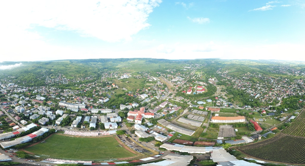
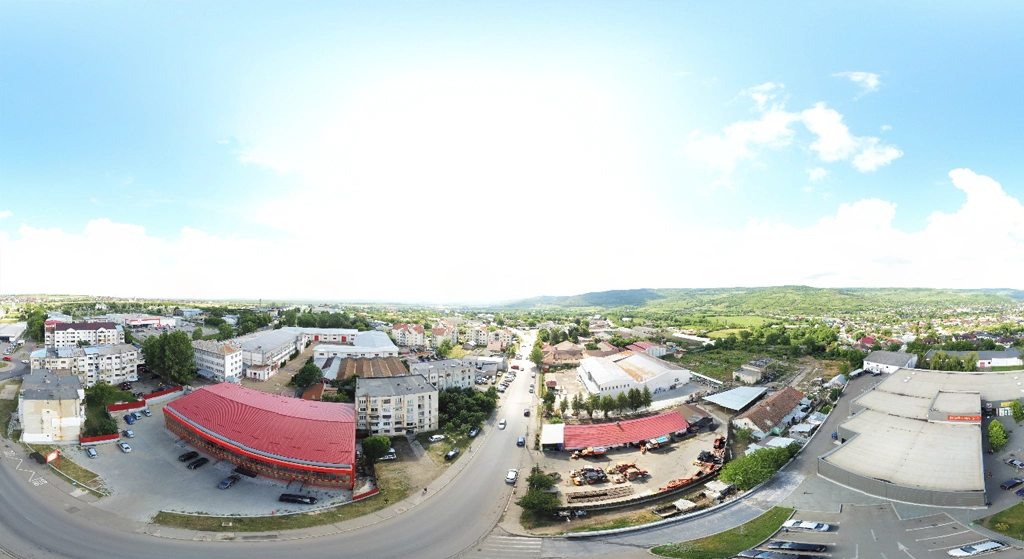
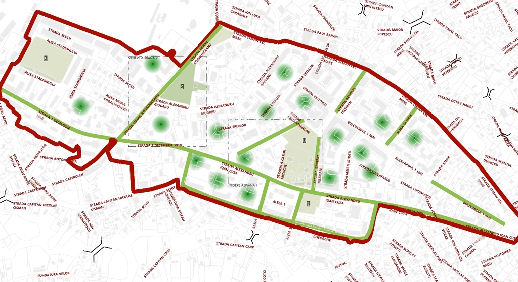
High-resolution orthophoto and digital model generation for the central area and historic neighborhoods of Huși. Technical support for the delimitation study of urban regeneration zones and heritage protection.
Location
Huși, Vaslui county
Area
450 ha
Accuracy
±5 cm
Date
2023-11
Project Steps
1UAV photogrammetric flight
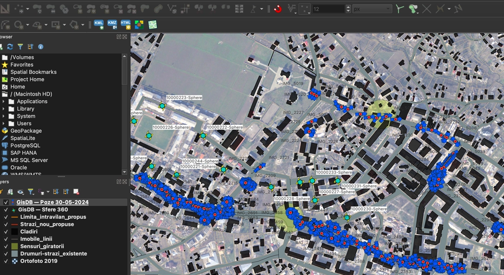
2Multi-criteria GIS analysis
3Building stock identification
Gallery
Datasets
Metadata
EPSGEPSG:3844
Coordinates46.674, 28.058
ClientLocal administration
Accuracy±5 cm
Datasets0
Deliverables
- Orthophoto
- GIS analysis
- Boundary drawings