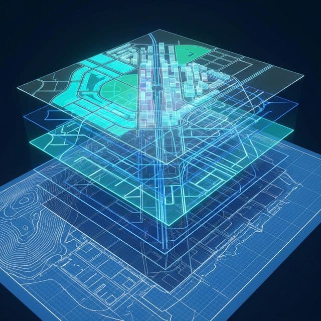
Urban Digitalization: Opportunity, Not Obstacle
"The future of urban planning is digital. Order 904/2023 is not just a legal requirement, but the necessary step towards efficiently managed smart cities."
The transition from the classic drawing board to the GIS (Geographic Information System) database is, perhaps, the biggest paradigm shift in recent Romanian urban planning. We know that for many architects and planners, this requirement may seem like an additional bureaucratic burden.
At Studii de Teren, we see things differently: it is the moment when architectural vision meets engineering precision to create documentation that not only "passes approval" but truly serves the community.
Why is MDLPA Validation so rigorous?
National digital platforms cannot accept ambiguities. While on paper a plot line could be thickened, in a GIS database, coordinates must be mathematically perfect.
The most common challenges we solve together:
- Geospatial Topology: Ensuring plots "close" perfectly, without overlaps or gaps invisible to the naked eye.
- Data Structure: Each UTR must have the correct attributes associated (POT, CUT, function) exactly as the standard requires.
- Coordinate Systems: Correct integration into Stereo 70 to match the reality on the ground.
Our Partnership: You Create, We Digitize
We believe an architect's precious time should be invested in creation and urban strategy, not in debugging .gpkg files.
Our role is to be your external technical department. We take your vision (from AutoCAD/the format you are used to) and ensure it reaches the validated digital format, ready for integration into national platforms.
How does the collaboration work?
- Initial Consultation: We discuss the project structure from the very beginning.
- Processing & Conversion: We transform your geometries into intelligent GIS formats.
- MDLPA Validation: We run the same strict checks as the authorities, fixing errors before submission.
- Support for City Halls: We also offer assistance to local authorities to correctly receive and use this data. We built the public side too: the Hunedoara county GIS portal.
Cost Estimation and Transparency
Every project is unique (from a small PUZ to a complex PUG), but costs should be predictable. We created the calculator below to provide an honest and quick estimate of the digitalization cost, based on area and complexity.
Use it to correctly budget your offer to the beneficiary. Prices for the rest of our work are in the service catalogue, in Romanian.
Calculator Estimativ Transpunere GIS
Află un cost orientativ pentru proiectul tău PUG/PUZ conform Ordinului 904